Challenge
Slow progress tracking, high surveying costs and safety risks in large construction sites.
Our Solution
- 3D Mapping & Site Surveys: High-resolution imaging for pre-construction analysis.
- Progress Monitoring: Weekly aerial reports for product managers.
- Safety Compliance Checks: Detects hazards and unsafe conditions on sites.
- Marketing & Virtual Tours: Drone footage for real estate promotions.
Benefits
- Reduces project delays and cost overruns.
- Enhances worker safety by reducing on-site risks.
- Improves investor confidence with real-time project visibility.
Challenge
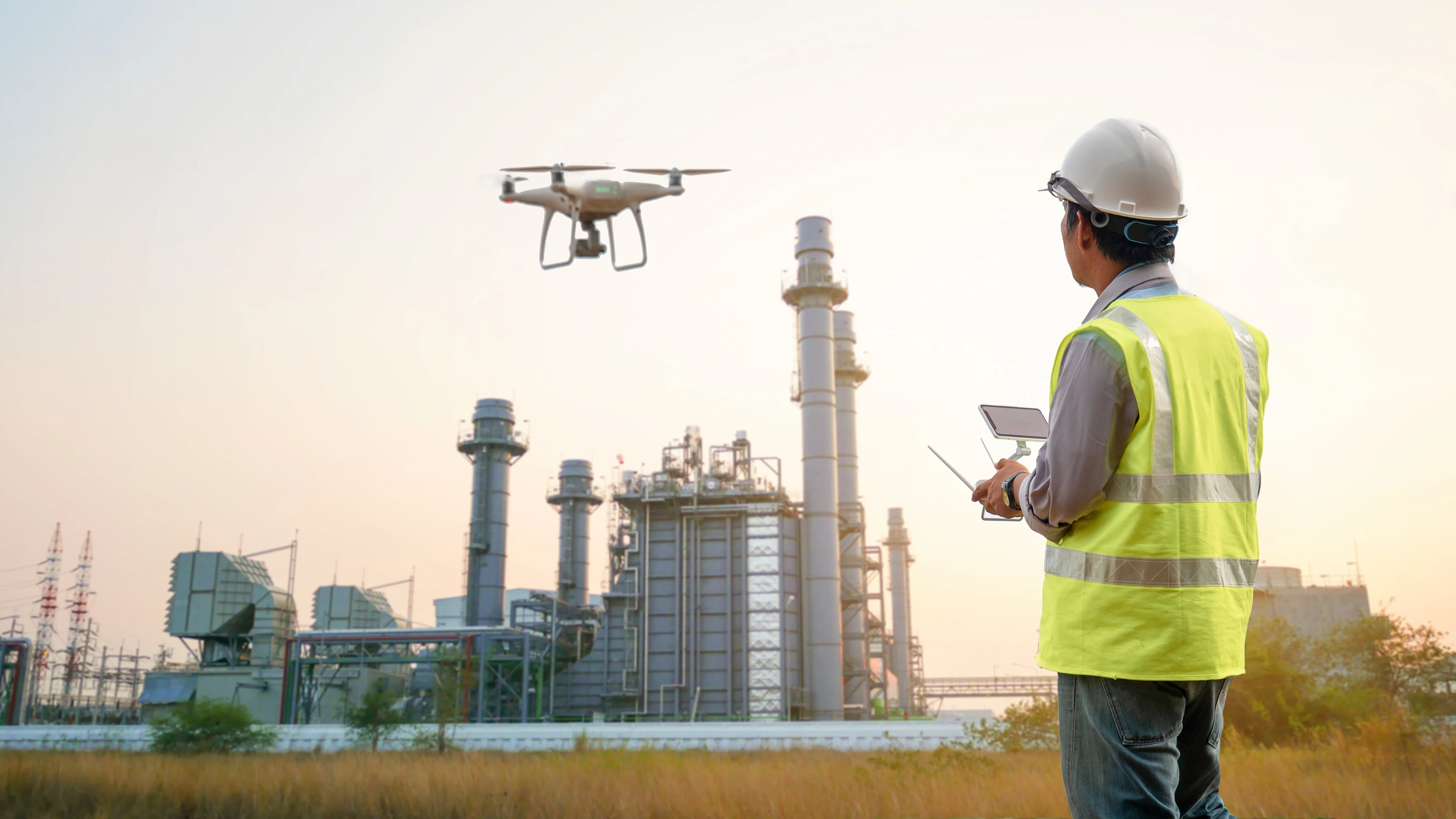
High-risk and costly inspection of power grids, solar farms, and oil pipelines.
Our Solution
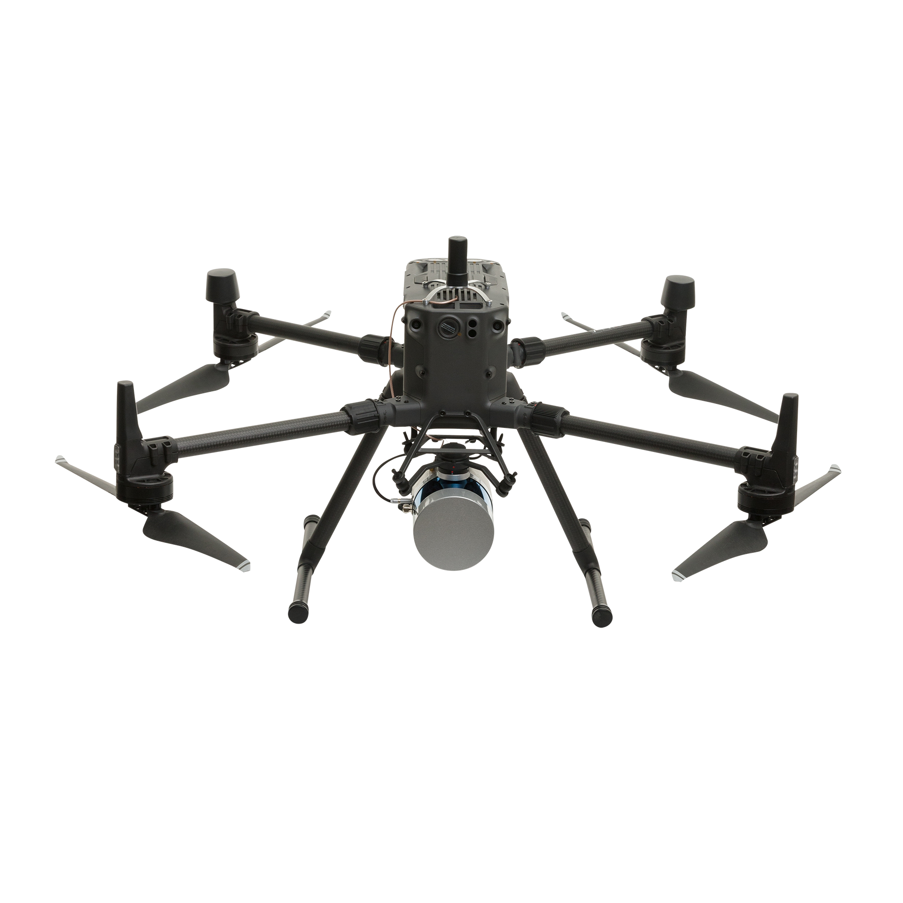
- Automated Grid Inspection: Detects power line faults using thermal imaging.
- Solar Panel Monitoring: Identifies inefficiencies in solar farms.
- Pipeline Surveillance: Detects leaks and corrosion in oil & gas pipelines.
- Wind Turbine Maintenance: Inspects turbines in offshore and remote locations.
Benefits
- Improves worker safety by eliminating risky manual inspections.
- Reduces downtime and maintenance costs.
- Enhances efficiency in renewable energy operations.
Challenge
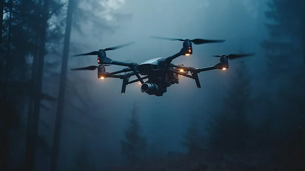
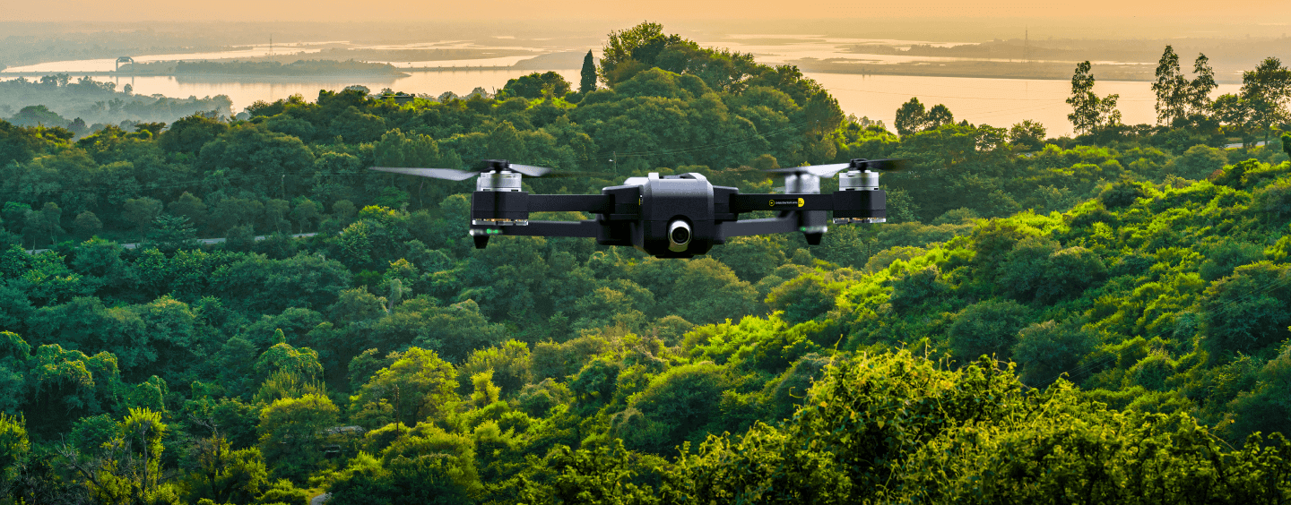
Difficulties in tracking wildlife, preventing poaching, and monitoring environmental changes.
Our Solution
- Aerial Wildlife Surveys: Real-time monitoring of endangered species.
- Anti-Poaching Surveillance: Thermal imaging to detect illegal activities.
- Forest Health Assessment: Tracks deforestation and habitat loss.
- Air & Water Quality Monitoring: Collects pollution data for environmental agencies.
Benefits
- Improves wildlife conservation efforts.
- Early detection of environmental hazards.
- Reduces poaching activities with constant aerial surveillance.
Challenge
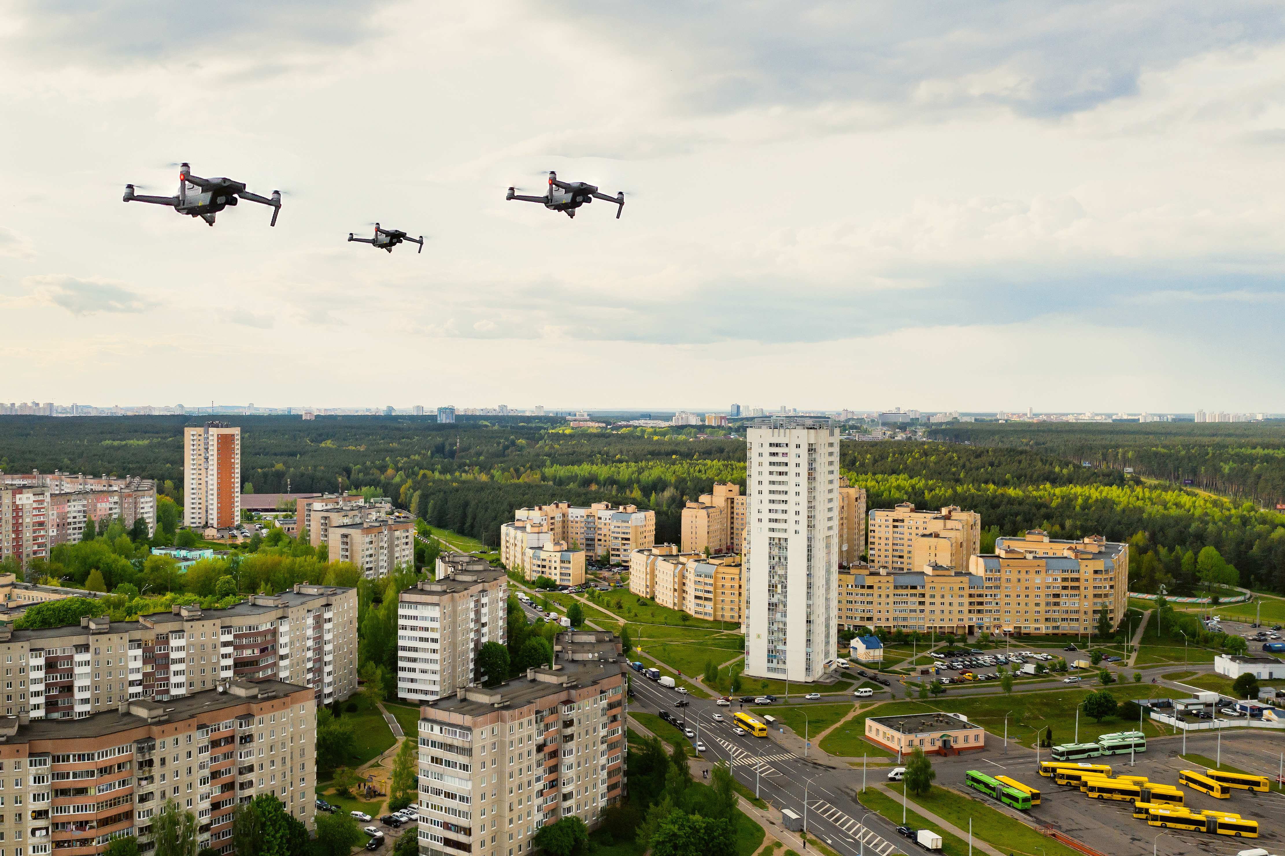
Urban congestion, inefficient infrastructure maintenance, and environmental monitoring.
Our Solution
- Traffic Flow Optimization: AI-driven real-time traffic monitoring.
- Infrastructure Inspection: Monitors bridges, roads, and pipelines for damage.
- Air Quality & Pollution Tracking: Monitors emissions for regulatory compliance.
- Waste Management Efficiency: Drones track waste disposal patterns.
Benefits
- Better urban planning with real-time data.
- Reduces infrastructure repair costs.
- Improves city sustainability and livability.